About Us
Who We Are
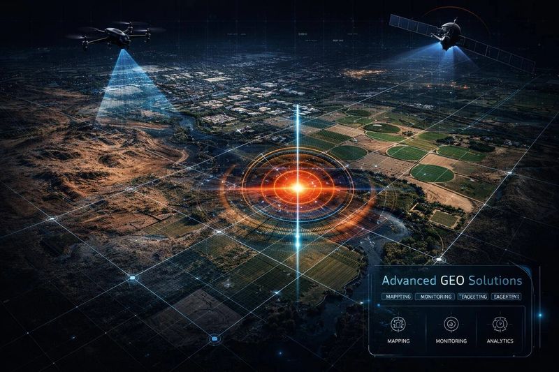
AGSSI is a specialized division focused on delivering high-resolution geospatial intelligence through advanced imaging technologies.
By combining UAV platforms, AI-driven analytics, and sensor integration, AGSSI transorms raw data into actionable insights - supporting decision-makers across defense, agriculture, infrastructure, and environmental sectors.
What Sets Us Apart
- Integrated Ecosystem: Delivering seamless end-to-end geospatial intelligence through unified UAV, imaging, and analytics capabilities.
- Real-Time Intelligence: Enabling immediate, informed decision-making on the ground.
- Scalable Deployment: Ensuring consistent performance across diverse and complex terrains.
- Mission-Ready Systems: Built and field-tested for reliability in real-world operational environments.

How It Works
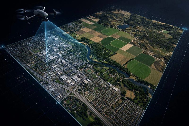
- Expert Data Collection: Deploying UAV systems equipped with high-resolution optical, thermal, and multispectral sensors to capture precise geospatial data.
- Precision Data Processing: Transforming captured data into structured geospatial outputs using advanced processing and AI-driven analysis to generate high-resolution maps, 3D models, and layered datasets.
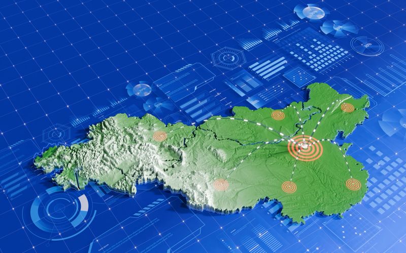
- Actionable Intelligence: Converting complex data into clear, decision-ready insights through visual outputs, dashboards, and tailored reporting.
Explore Our Expertise in Advanced Geospatial Solutions
Geospatial Analysis

Satellite Mapping Technology

Custom Geospatial Technology Services